
BUSINESS AREA 04
Drone Services
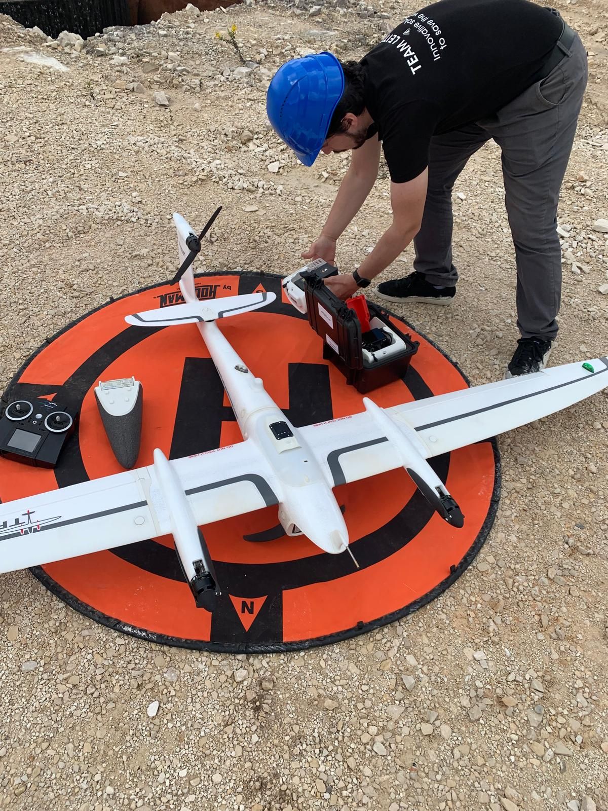
Professional aerial surveying and advanced image processing for agricultural and forest land and the extractive industry, supporting the smart management of these assets.
What we do
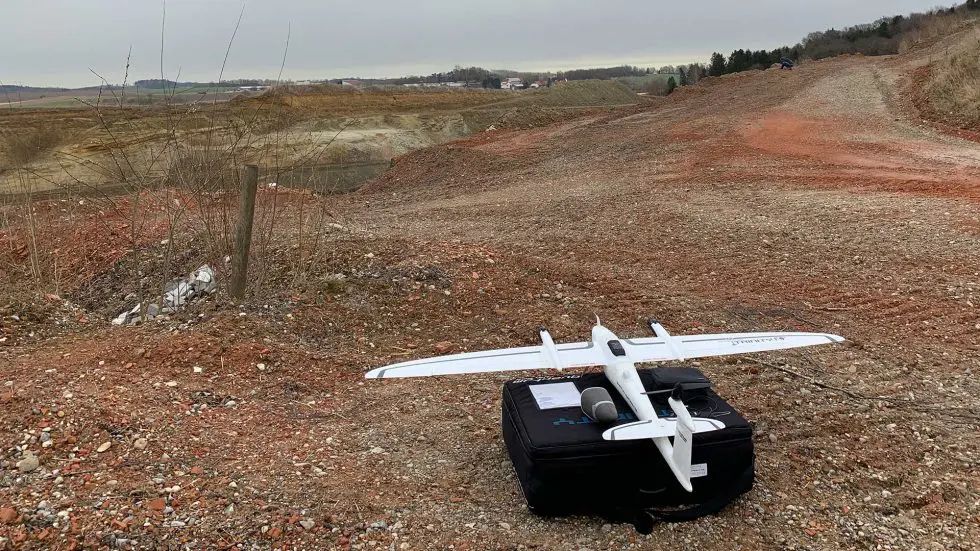
Aerial surveying (agroforestry, topography, extractive industry)
Power line inspection
Support for maritime rescue and civil protection
Bird deterrence at aerodromes using robotic birds
Drone as a Service
How we work
- 01
Fly
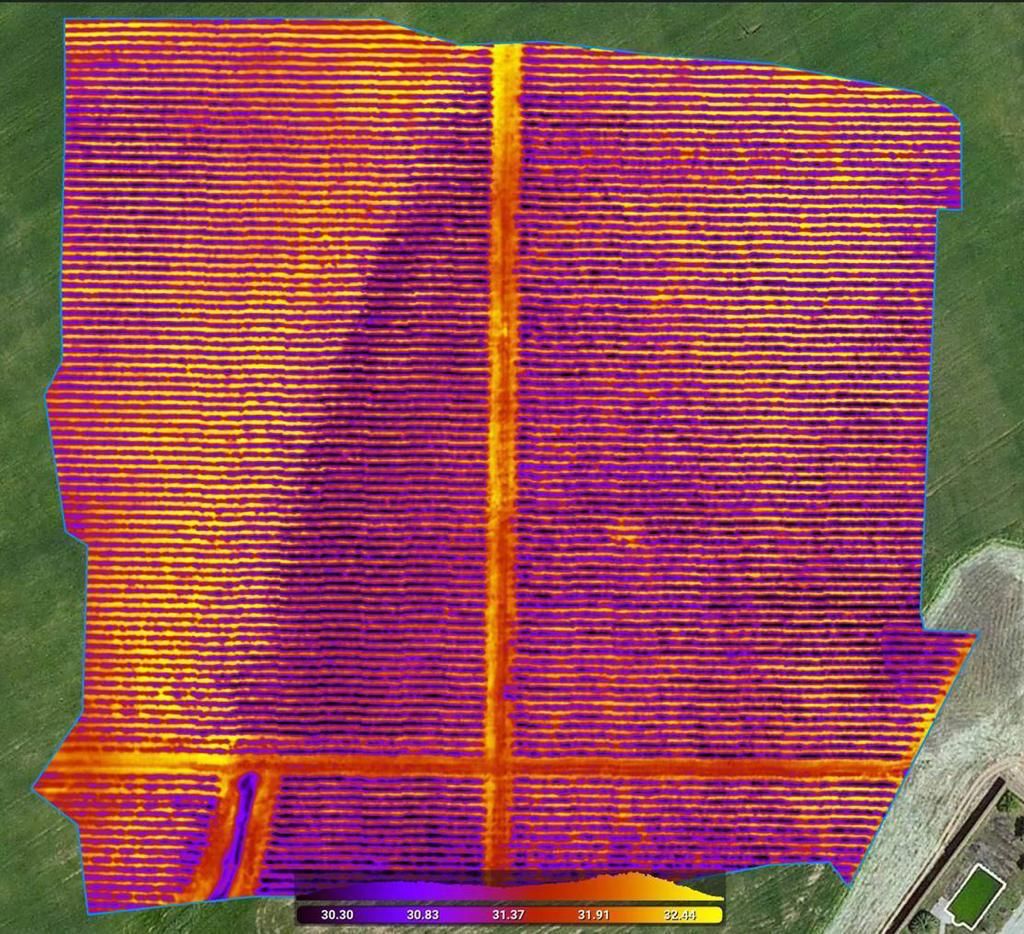
capture with RGB, multispectral and thermal sensors
- 02
Analyse
image processing and AI algorithms
- 03
Act
reports and maps to support decisions
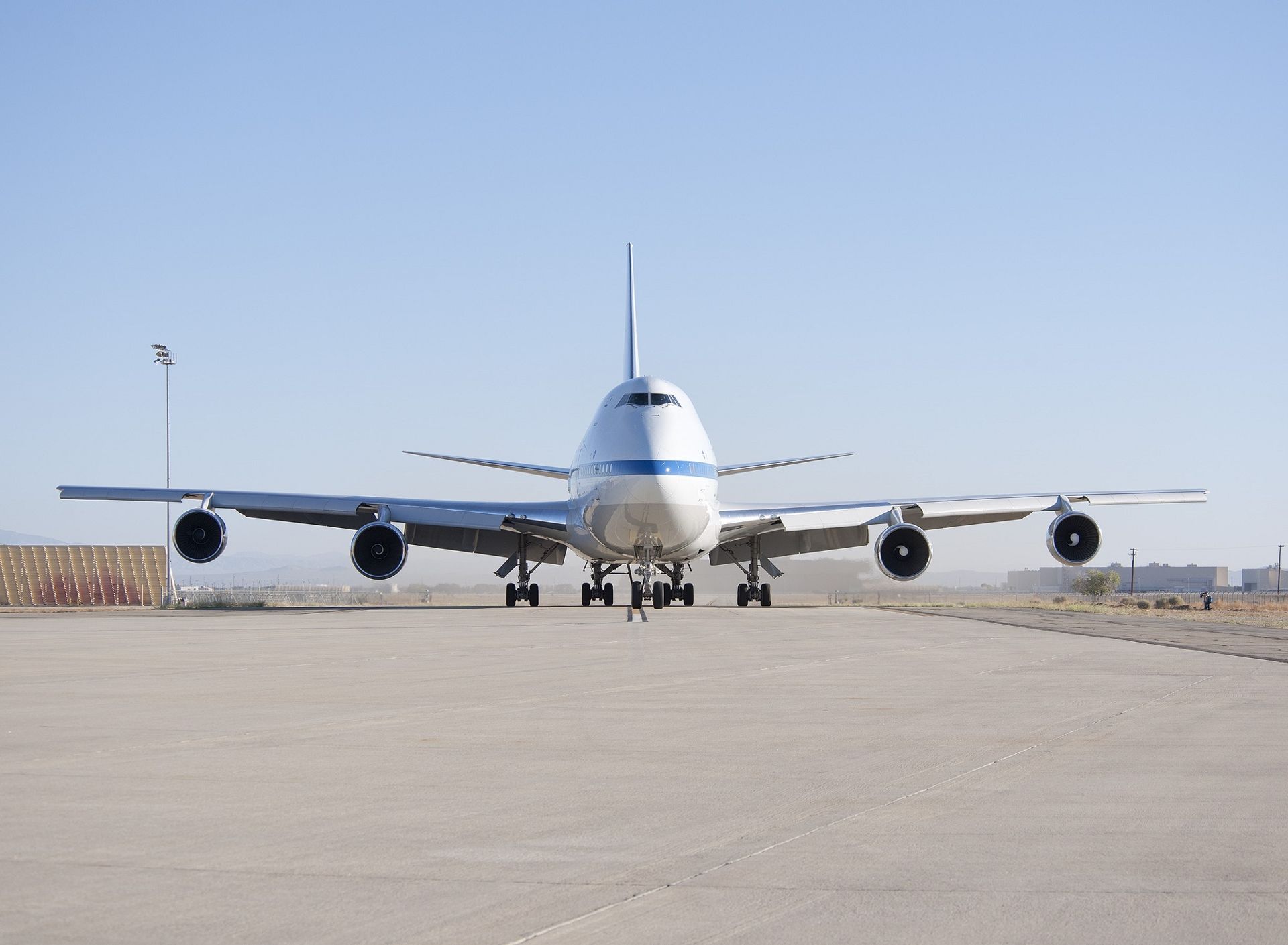
Bird deterrence at aerodromes
Robotic birds are used to deter birds from operational areas, contributing to operational safety at aerodromes.
In the field
Talk to us about Drone Services
We will route your request to the team responsible for this area.